Geography, Land-Use, Highlights, Population, Roads, Airports, Climate & National Monuments in Wajir County
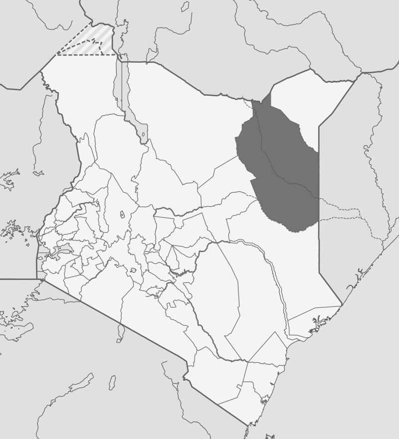
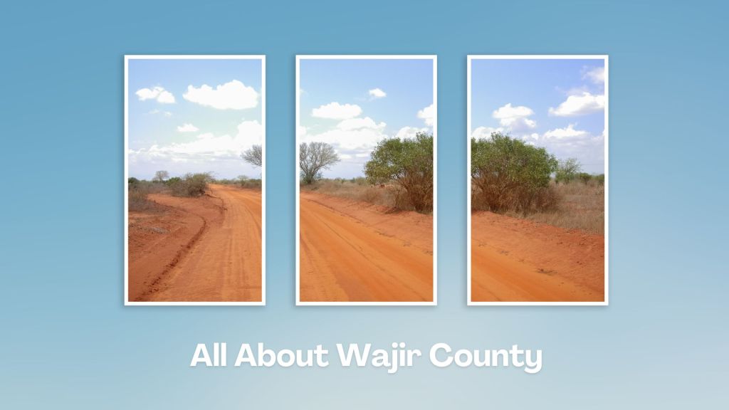
Geography of Wajir County
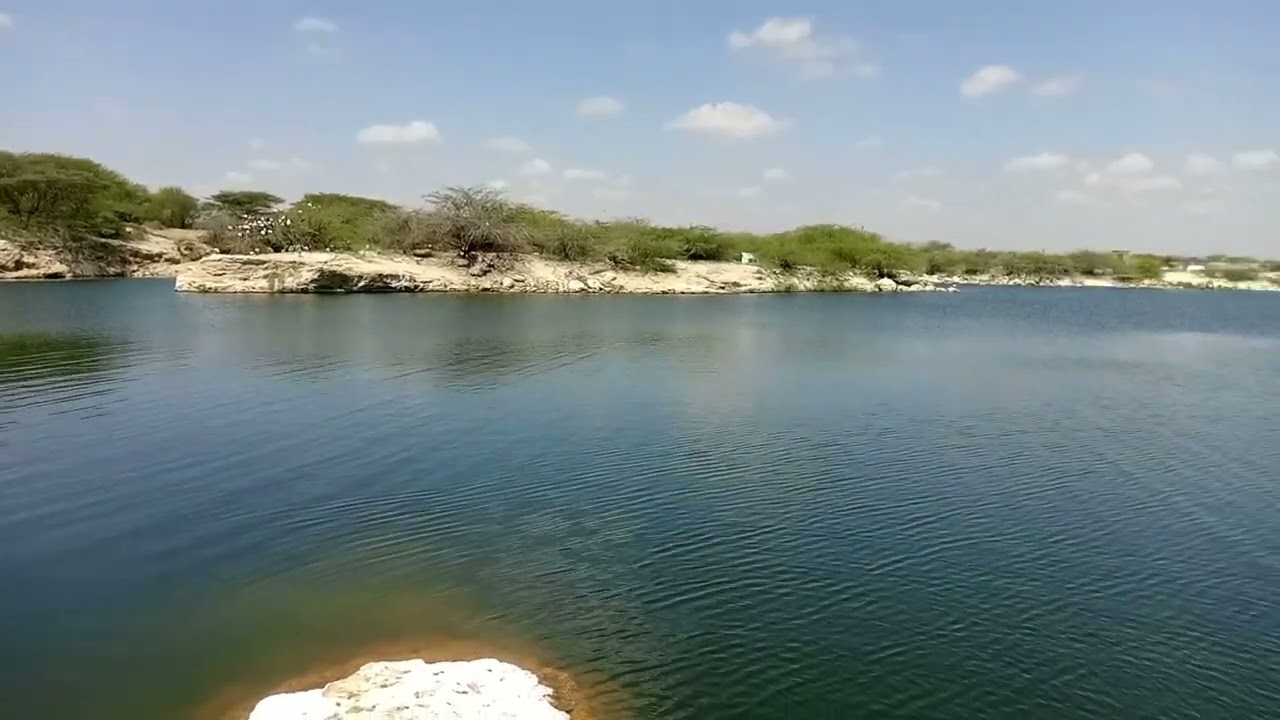
Generally speaking, Wajir County is a featureless plain which lies between 150 metres and 460 metres above sea level. The plain rises gently from the south and east towards the north rising from 150 metres at Buna to 460 metres at Bute and Gurar at the foothills of Ethiopian highlands. The highly seasonal Ewaso Nyiro River and Lake Yahud are its only notable water sources, and is prone to seasonal flooding during the rainy seasons which is a mixed blessing for the people of Wajir. While this renders its roads impassable, it does thrive seasonal pasture that serve as grazing areas during dry season and paddocks for farming during rains.
Land Use in Wajir County
Majority of the people practice nomadic pastoralism and a large portion of the land is utilised for grazing. There are however few farmers who are practicing small-scale farming. And excepting the small area covered by Wajir town, the entire Wajir County is categorized as communal trust land. The land is mostly used communally for pastoralism and it is communally owned. Recently, some small areas have been put exclusively under farming by individuals and groups.
Highlights of Wajir County
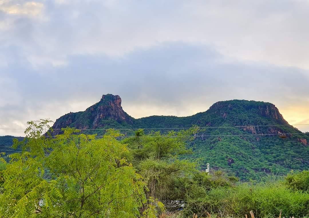
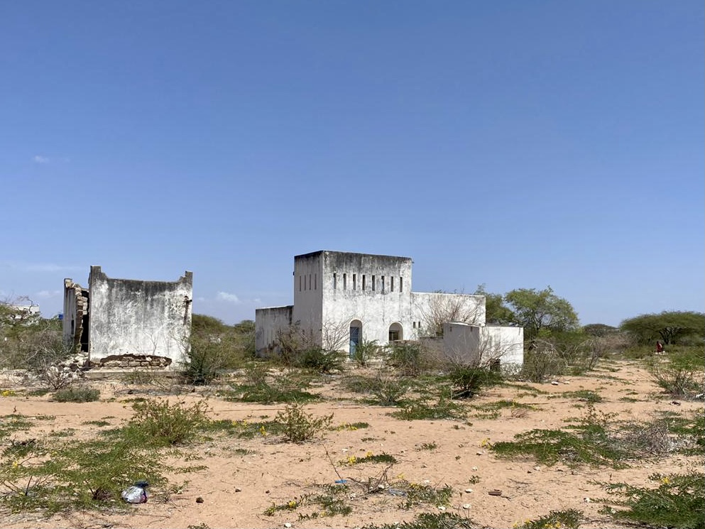
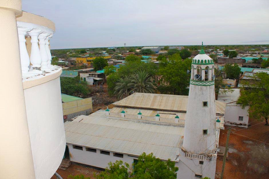
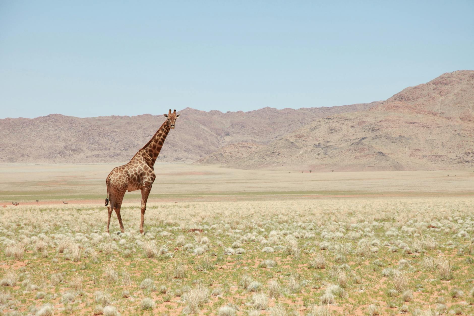
Wajir County has rich culture, wildlife and landscape features that include Lake Yahud and Malabar Hill. Tourism has been boosted by Wajir Airport. There are no game reserves or game parks in Wajir. However, KWS is ensuring safety and protection of the wildlife in their current habitation outside any protected area. The key sites of interest are its historic sites including Wajir Museum, Wagalla Monument, Orahey Wells, British Era war bunkers, and the Old Court building.
Population in Wajir County
Wajir County according to the (2009) Kenya Population and Housing census had a total population of 727,965, which was projected to reach 852,963 in 2017. The county has an annual growth rate of 3.22% which is higher than the national population rate of 3.0%. Population density is 13 persons/km2. Wajir East, which hosts Wajir Town, is the most densely populated with a population density of 31 people/ km2. Wajir South has the lowest density of 7 people/km2.
Airports in Wajir County
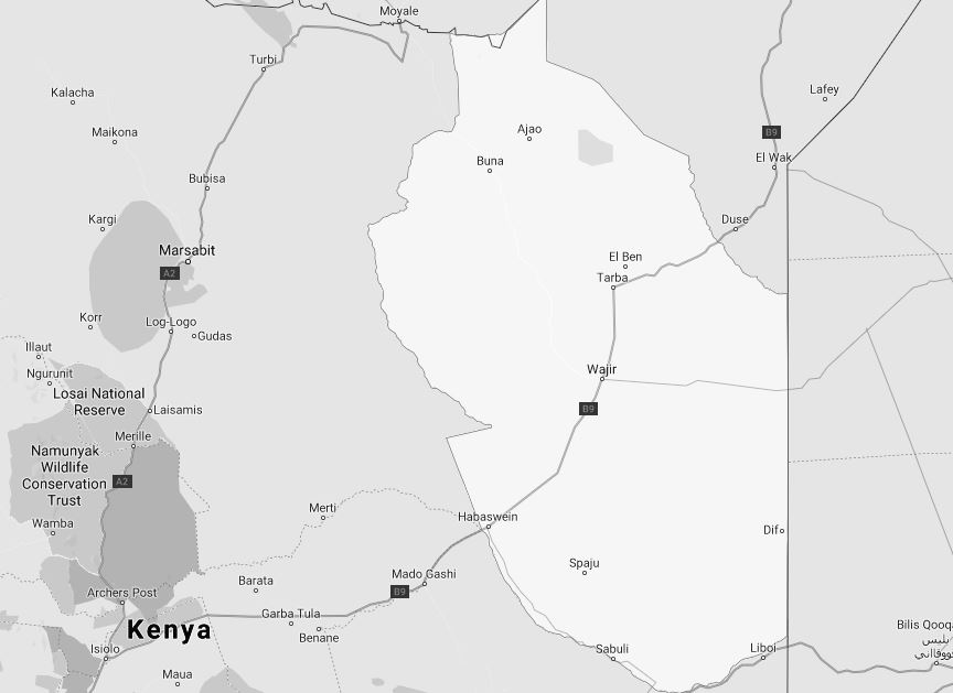
Wajir County has an international airport set at Wajir and seven other airstrips found at Habaswein, Khorof Harar, Wagalla, Buna, Bute, Tarbaj, and Diff areas.
Roads in Wajir County
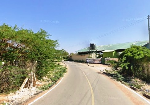
Wajir County has a total of 440 km of gravelled roads, out of 5,280 km road network. The rest of the roads are earthen and unclassified. The county has only 28 km of tarmac road in Wajir town. Efforts are ongoing to lay more bitumen.

Climate in Wajir County
Wajir County is a semi-arid area and rainfall is usually erratic and short making it unfavorable for vegetation. The average annual temperature is 29°C with the average monthly temperatures rarely going beyond 35°C. The warmest months are February and March with an average of 36°C while the coolest months are June to September, averaging about 21 °C. Rainfall over the entire region is low.
National Monuments in Wajir County
There are no designated national monuments in Wajir County
A Complete Guide to Wajir County
Brief Overview of Wajir County
Brief History of Wajir County
20 Attractions in Wajir County, arranged as one would visit these - north, west then south - with the aid of in-depth narratives, images, strip maps and distance chart:
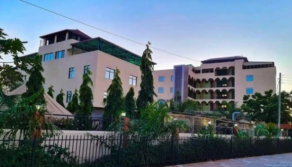
Wajir Oasis Hotel, Lake Yahud, Wagalla Monument, Old Wajir Town, Orahey Wells, Orahey Bunkers, Fort Wajir, Wajir Museum, Wajir War Cemetery, Esspresso Royale, Wajir Livestock Market, Wajir Giraffe Sanctuary, Shaletey Caves, Grosso Griftu, Malabar Hill, Mansa Guda Formation, Sabuli Wildlife Conservancy, Sabena Desert, Lorian Swamp, Habaswein
Know More About Wajir County: Its Geography, Land-Use, Highlights, Population, Roads - including a distance chart, Airports, Climate & National Monuments
Need Help Planning Your Trip to Wajir?
We’re here to help you make the best out of your travels
The entire team is eager to help you plan your memorable holiday. Long, short, big and small, we’ll help you work it all out.
Contact Us
Find The Best Hotel Rates in Wajir?
Choose From The Largest Collection of Hotels
Whether short, long, alone or with family or friends, you’ll find the ideal hotel here.
Contact Us